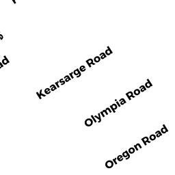
43 KEARSARGE ROAD
Owner Information
43 KEARSARGE ROAD REALTY TRUST
43 KEARSARGE ROAD
MARSHFIELD, MA 02050


Property Details
43 KEARSARGE ROAD is classified as a Single Family Residential (Cottage-yrnd).
The primary structure on this property was built in 1941. There are 1,193ft2 of built area within this property. There is 1,193ft2 of residential/living space within this property. This property is listed as having 6 rooms.
43 KEARSARGE ROAD is valued at $359,300. The land is valued at $248,100 and the structures are valued at $110,700. There is an additional valuation of $500 on this property.
This property is in Zone R-3. Confirm with local Zoning Board authorities to ensure there are no overlays or other easements on this property.
43 KEARSARGE ROAD was last sold on Thursday, March 9, 2006 for $1.
Assessment data from fiscal year 2022.
Flood Data
This property is completely within the AE Zone (within floodplain).
The base flood elevation for this flood zone is 9 feet.
This information is sourced from the FEMA National Flood Hazard Layer. See our full disclamer.
Broadband Internet Providers
| Provider | Type | Bandwidth (mbps) | |
|---|---|---|---|
| Viasat Inc | Satellite | 100 | 3 |
| Comcast | Cable | 1000 | 35 |
| T-Mobile | Fixed Wireless | 25 | 3 |
| GCI Communication Corp. | Satellite | 0 | 0 |
| HughesNet | Satellite | 25 | 3 |
| VSAT Systems, LLC. | Satellite | 2 | 1 |
| Verizon New England Inc. | Fiber | 940 | 880 |
Broadband service provider data from December 2020.